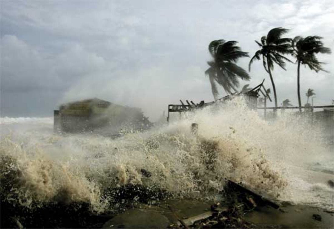
MANILA, Philippines – Typhoon Ulysses brought more rain and weak winds compared to Rolly which had less rain but strong winds so PAGASA warned of storm surges, landslides, flashfloods and lahar floods.
At 5 pm yesterday, Ulysses’ eye was spotted by PAGASA 60 km east northeast of Daet, Camarines Norte and continued moving west at a speed of 20 km per hour.
Ulysses has wind speeds of up to 140 kph and gusts of 195 kph.
Metro Manila, other areas subject to signal No. 3.
Signal number 3 in the southern portion of Quirino, southern portion of Nueva Vizcaya, Pangasinan, Nueva Ecija, Aurora, Tarlac, Zambales, Bataan, Pampanga, Bulacan, Metro Manila, Rizal, Cavite, Laguna, northern and central portions of Quezon including Polillo Islands, Batangas, Catanduanes, Camarines Norte, northern portion of Camarines Sur.
Signal number 2 in the rest of Quirino, rest of Nueva Vizcaya, southern portion of Benguet, southern portion of La Union, rest of Quezon, Marinduque, northern portion of Occidental Mindoro including Lubang Island, northern portion of Oriental Mindoro and Burias and Ticao Islands.
Residents living along the beaches of Luzon, especially in Metro Manila, are being evacuated one by one due to the expected tide or storm surge that will be experienced in the areas caused by more rain brought by Ulysses.
Storm surges include breaking waves that can cause destruction of coastal inundation and coastal areas around Laguna de Bay.
Phivolcs is also preparing residents living near the Mayon, Pinatubo and Taal volcanoes for possible lahar flow on the slopes of the volcanoes due to the ravages of typhoon Ulysses.
Over the next 24 hours, the ocean will be rough to the point of being stormy in areas under storm warning signals that are exacerbated by the effects of the north wind.
This Thursday morning, Ulysses is expected to be 170 km west of Iba, Zambales. On Friday it is 600 km west of Iba, Zambales and on Saturday it is out of the country.


